E-Learning Programs
Professional Training Courses
Comprehensive training to enhance your geospatial skills and advance your career
BEGINNER
Introduction to Cartography
Master the fundamentals of map-making and cartographic design principles.
- Map Design Fundamentals
- Symbology & Visual Hierarchy
- Digital Cartographic Tools
BEGINNER
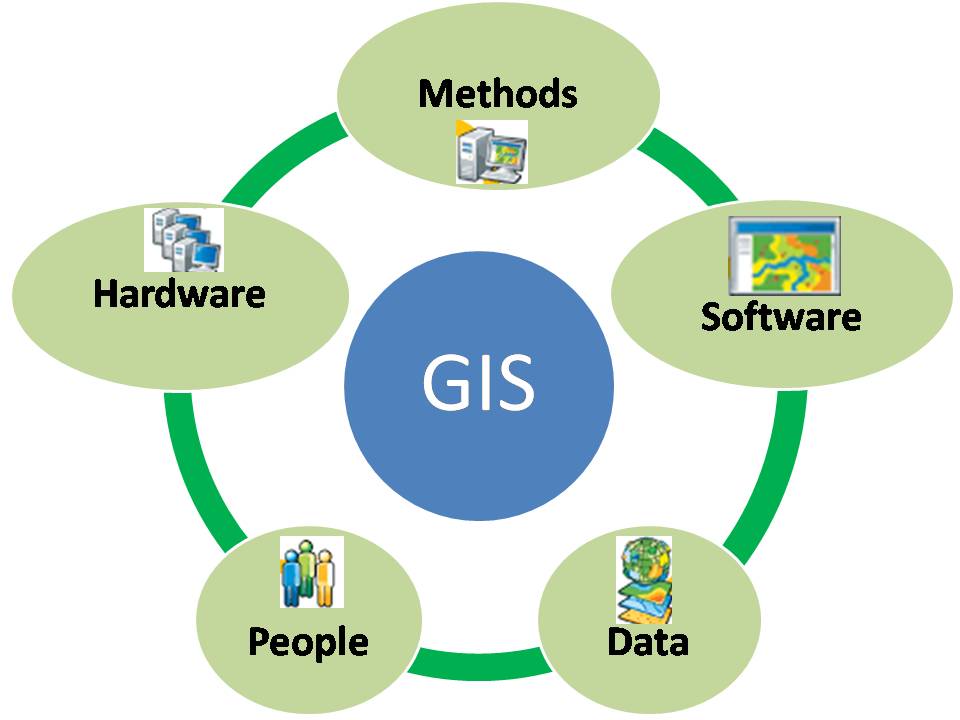
Introduction to GIS
Master the basics of Geographic Information Systems and spatial analysis.
- Spatial Data Management
- GIS Analysis Tools
- Practical Applications

INTERMEDIATE
Introduction to Remote Sensing
Explore satellite imagery analysis and Earth observation techniques.
- Satellite Data Processing
- Image Analysis Techniques
- Environmental Applications